
Agrometeorology: colder than the freezing temperatures that have occurred in recent days are no longer likely
The weather is slowly warming up, according to the calculations, it is no longer likely to be colder than the frosts that have occurred in recent days – the National Meteorological Service announced in its agrometeorological analysis published on Thursday on its website.

(Photo: Pixabay)
They wrote: the temperature started to rise in the middle of last week, on Friday, with the exception of the north-east boundary wind, maximums of 16-20 degrees Celsius were typical, then it started to cool down from Saturday, and on Monday the peak values were only around 10 degrees. The morning frosts appeared again on Tuesday, and on Wednesday the highest temperature was mostly between minus 1 and minus 5 degrees in the western and central parts of the country. The soil temperature, measured at 5 centimeters, also fluctuates strongly: by Sunday, its daily average value rose above 10 degrees in a large area, and is currently around 5 degrees. According to the analysis, since the middle of last week, mostly 5-15 millimeters of rain has fallen nationwide, but in smaller spots more has fallen. The near-surface part of the soils in the so far drier Little Great Plain and South Great Plain areas also got a lot wet, and the early spring drought in the former areas was also moderated or ended. The middle and deeper soil layers have a good water supply throughout the country, with the exception of the area around Sopron.
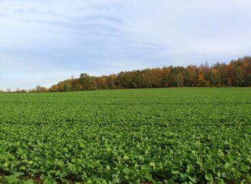
The autumn crops are in good condition, their spring development has started early
Autumn wheat has started to sprout, rapeseed is also in the phase of stem growth, and the beginning of flowers has also appeared. However, without frost protection in the Miskolc region, apricots suffered frost damage last week at minus 4.5 degrees, while the other plants have not yet suffered damage. Over the next few days, the cooling at night will moderate, and frosts that are harder than the previous days are not expected – they wrote. They added: in weather that has been warmer than usual and in most places sufficiently rainy, the vegetation has started to develop rapidly, the fields and forests at lower altitudes are turning green, and the green mass of the autumn crops is also increasing. The value of the vegetation index showing the “greenness” of the surface is higher than the long-term average across the country, the smallest positive deviation can be observed in the forests of the Northern Central Mountains and in the orchards of the Szabolcs-Szatmár-Bereg counties, because there is a high proportion of trees that have not yet turned green.
According to the analysis, there is a prospect of wintry weather in the beginning, and then gradually easing from the end of the week
The air vortex coming from the east will cause precipitation for days to come, in the northeast, mainly snow and sleet is expected initially, and then rain will become more and more characteristic. The probability of precipitation decreases at the end of the week, but rain and showers are expected even next week. The temperature is well below the usual values at this time: night frosts of minus 1, minus 2 degrees will still occur until Monday, and then the cooling will moderate further from Tuesday. It will also be cool during the day, the maximum is expected to be around 3 degrees in the north-east on Friday, and 10 degrees in the south-west. The weather is slowly easing day by day, maximums of 9-14 degrees are expected on Sunday and 12-17 degrees next Wednesday. The daily average of the soil temperature measured at 5 centimeters will reach 10 degrees again only next week, the meteorological service wrote.
MTI
Related news
Agrometeorology: soils continue to replenish
The upper half-meter layer of soils contains a lot of…
Read more >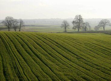
Agrometeorology: soil sufficiently moistened almost nationwide
Last week’s heavy rainfall sufficiently moistened the upper layer of…
Read more >
Agrometeorology: precipitation is good for autumn sowing
This week, heavy rain fell nationwide, with the exception of…
Read more >Related news

They want it to be premium, but also sustainable – expectations of the youngest generation
GlobalData’s latest report, “Demographics in Retail and Apparel” – which…
Read more >
Zsolt Liptai became the winemaker of the year
The Hungarian Wine Academy (MBA) has awarded Zsolt Liptai, the…
Read more >
Tips for avoiding credit card fraud during the holiday season
The Christmas season is all about the joy of shopping,…
Read more >