Agrometeorology: cold weather saves the water-soaked seed from greater damage
The cold, dry weather expected next week will save the water-soaked crops from greater damage, HungaroMet Nonprofit Zrt. wrote in its agrometeorological analysis on Thursday.

(Photo: Pixabay)
They wrote: it rained in many places on the last day of last year and the first days of the new year, the amount of precipitation in the last week in the western part of Transdanubia and in the northeastern part of the country was between 5 and 15 millimeters, while elsewhere it was between 1 and 5 millimeters. The amount of precipitation in the last thirty days has exceeded the average for many years across the country, in many places in Transdanubia more than twice the usual amount has fallen. The upper one-meter layer of the soil is still saturated or close to saturation, and the water also reaches the even deeper layers, which means a favorable outlook for the next year. However, the size of the areas inundated with inland water continued to increase, especially in the Alföld and the Little Plain, there have been inland water spots for more than a month.

In the past ten days, the temperature has been significantly higher than the long-term average by 5-8 degrees Celsius
Weak frosts occurred several times a night, but the average daily temperature was typically above plus 4 degrees, and the average temperature of the last ten days was also between 4 and 7 degrees, no significant ground frost still occurred. They added: the price waves at the end of December passed without significant damage, but the inland water cover did not decrease significantly, and with the daily average temperatures above 4-5 degrees typical since Christmas, damage is already occurring in the autumn crops, so the cold, dry weather expected next week is coming just in time to avoid major damage. In the continuation, there is still a chance of rain on Saturday, and on Sunday, with a decreasing tendency of precipitation, the state of precipitation will gradually change from the northwest to freezing rain, sleet, and then to snow, but a significant snow cover can only develop in the western and southern regions of Transdanubia. Mostly sunny and dry weather is expected for most of next week. From Sunday morning, accompanied by a strong, stormy north-northeast wind, a significant cooling will begin, from Monday the air will drop to minus 10 degrees in many places at night, from the middle of the week the air will cool below that, and the temperature will not rise above freezing during the day either.
MTI
Related news

(HU) MBH AgrárTrend Index: stabilizálódtak a magyar élelmiszer-gazdaság kilátásai
The assessment of the situation of the actors of the…
Read more >
The EP approved the review of the EU’s common agricultural policy
The revision of the common agricultural policy (CAP) was approved…
Read more >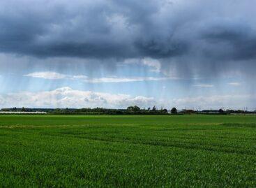
Agrometeorology: rainfall was good for plant development
The cool weather of the past few days stopped the…
Read more >Related news

Grilling cheese didn’t go up in smoke
The average price of grilling cheese is much higher (nearly…
Read more >
What do shoppers say about the new retail tools?
At the beginning of the year, Consumer Panel Hungary GfK–YouGov asked panel…
Read more >
Special foods ranking: 1. Diabetic, 2. Low-carb, 3. Lactose-free
Different special diets and foods are frequently discussed, and it…
Read more >