Flood management: the disaster map is also available with us

In the Czech Republic these days, the flood situation is very similar to that in our country: there are places where intensive protection is already required, while in other places they are just preparing for the upcoming flood wave. In response to the situation, Munipolis, the leading platform for communication between Czech municipalities and the population, which is also present in Hungary, introduced a new function called disaster map. In addition to residents and local governments, crisis management teams and various emergency services (ambulances, firefighters, police, disaster management, volunteers, and even the army) can constantly see and monitor this. The application is also used by several settlements in Hungary that are at risk of flooding, so it can also speed up the exchange of information between the population and municipalities in our country in the coming days.
“The crisis map allows not only rescue units, but also a wide range of the population to quickly and efficiently share information about flood threats and dangers detected in their environment. Based on these, local governments and rescue units can react with greater accuracy and speed, which can be key to minimizing damage and even saving lives in the event of a flood.”
said Ondřej Svrček, one of the founders and managers of Munipolis. The platform is used by more and more municipalities in Hungary, and the developers of the system are also open to cooperating with disaster management in Hungary.
In the Czech Republic, after consideration and pre-screening, local governments can directly share these data and photos with the operational units of the integrated emergency services (IZS), speeding up, clarifying and making cooperation between local authorities and the services direct. A guide has also been prepared to inform citizens, which local governments can use to draw the population’s attention to the possibility – and dangers – of active participation in mapping the flood situation. With the application, users can, for example, take a photo, which they can send to the common platform together with an accompanying text and automatic GPS coordinates and time stamp.
Related news

Employer’s nightmare: three-quarters of employees are being silently dismissed?
🎧 Hallgasd a cikket: Lejátszás Szünet Folytatás Leállítás Nyelv: Auto…
Read more >
AI-powered customer service at municipalities
🎧 Hallgasd a cikket: Lejátszás Szünet Folytatás Leállítás Nyelv: Auto…
Read more >
Domestic companies are maneuvering amid increasing tensions
🎧 Hallgasd a cikket: Lejátszás Szünet Folytatás Leállítás Nyelv: Auto…
Read more >Related news

Oat-based “feta” wins the cheese innovation competition of Lidl Germany and ProVeg
🎧 Hallgasd a cikket: Lejátszás Szünet Folytatás Leállítás Nyelv: Auto…
Read more >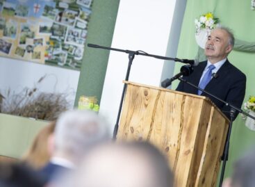
The horticulture of the future is being built in Szentes
🎧 Hallgasd a cikket: Lejátszás Szünet Folytatás Leállítás Nyelv: Auto…
Read more >
Finger Food Experience
🎧 Hallgasd a cikket: Lejátszás Szünet Folytatás Leállítás Nyelv: Auto…
Read more >